 |
|
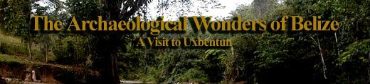
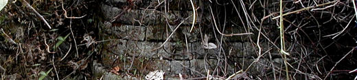
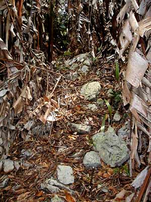
Proof
of an ancient Mayan city at the unexcavated site Uxbentun
in the Toledo district of Belize. |
|
| |
|
 |
|
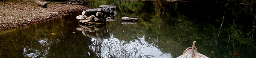
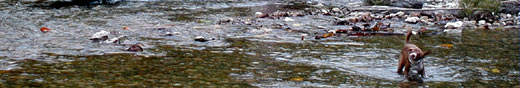
The
waters of the Columbia River in the Toledo district at
its source. |
|
| |
|
In fact, we agreed not to go into to much depth regarding just
how to approach the site and who is the current owner of the property
in order to keep from publicizing the whereabouts in light of
the fact that the Belize government has not addressed the ruins
in many years.
Indeed, to say Uxbentun is off the beaten path would be putting
it lightly. To visit Uxbentun, I made contact with the property
owner who was picking up supplies one day in Punta Gorda. When
I first approached him in early November on the spot he extended
an invitation for me to visit. He said he would be happy to
tour me around the site the following March.
And so two weeks prior to the end of March I ran into him once
again in Punta Gorda. He explained how to get to his place and
said he would be looking forward to my arrival. The particular
Wednesday we agreed upon was a gloriously beautiful day. I loaded
a day pack with my camera, four bottles of water, two sandwiches
and some fresh fruits and headed up the Southern Highway in
my small truck. About a mile after the location known as 'the
dump' I took the right hand turn towards the village of San
Pedro Columbia.
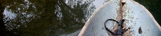
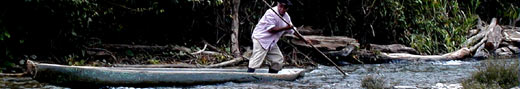
After a few stops to ask a handful of questions, I found my
way to the Columbia River. A few more questions to conveniently
nearby locals and I was able to hire a man named Saul Garcia
and his canoe. Mr Garcia has a farm on the river that is reportedly
the standard by which all other agro forestry endeavours in
the area are measured. He has the most amazing collection of
plants, a veritable forest of edible plants, plus coffees, cacao,
timber and medicinals. For BZ$25 dollars he provided me a safe
spot to leave my truck, then alternating paddled and poled me
and my daypack several miles up stream. Eventually we pulled
over to the side of the river. In his broken English he pointed
me up a hillside and into the bush.
Soon I was greeted by a young Brit that pointed me further
up the hill. Once to the top I was met by the owner. At first
glance he seemed a bit surprised, obviously he had forgotten
that I was coming. He explained that he had to finish feeding
his child breakfast and offered me a cup of coffee.
When the child was fed, he picked up a machete and we headed
into the jungle. It was a steady climb up that required the
man to chop and step, chop and then step, no doubt it was thick
bush. The process took about a half hour or so until at last
we were in the center of the location know as Uxbentun. Uxbentun
was a suburb or satellite settlement of nearby Lubantuun, which
is where the Crystal Skull was found.
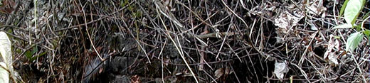
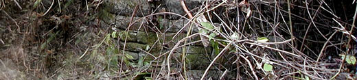
For the most part there was little to see, much less to photograph.
The site had not been cleared in years and in the Toledo District
that means the jungle had literally taken it back. But there
were vantage points where you could see the remnants of an ancient
Belize Maya city, reflecting a time when the Maya culture thrived
deep in the jungles along the Columbia River of Belize.